It’s that familiar moment of the year again, when crisp winds sweep across Ontario and we collectively brace for the season’s first brush with winter. Environment Canada’s latest forecast suggests that southern Ontario could see a rain–snow mix as early as Sunday, and honestly, I’m not surprised. After Wednesday’s strong winds and scattered showers, it feels like the province has already begun its slow slide toward the colder, darker months.
What’s interesting this time around is how quickly the air mass is shifting. Meteorologist Ross Hull from Global News notes that computer models are hinting at possible snowfall across southern Ontario even parts of the GTA. While there’s still some uncertainty in terms of exact accumulation, the prediction that temperatures could plunge to -3°C by Sunday afternoon or evening has definitely caught my attention. That’s cold enough for snow to stick, at least in spots.
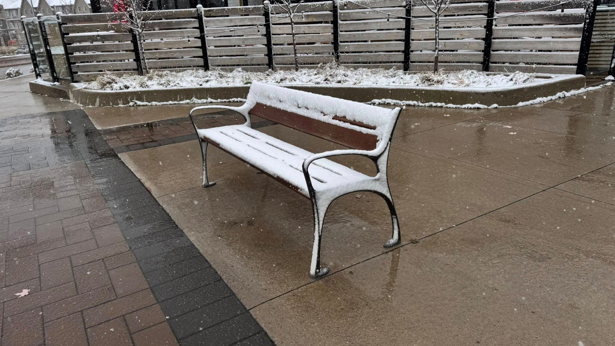
Of course, Toronto proper tends to play by its own weather rules. The city’s warm ground temperatures and urban heat island effect usually delay that first true snowfall. Global News’ chief meteorologist Anthony Farnell echoes this sentiment, predicting we’ll see more of a fleeting rain–snow mix downtown. But head just a little north toward Lake Simcoe or higher elevations and the story shifts dramatically. There, a few centimetres of heavy, wet snow could settle in, and with lake-effect bands on Monday, those regions might be looking at significant totals, perhaps 10 centimetres or more.
All of this raises an intriguing question: is this just an early-season tease, or a preview of a harsher winter ahead?
Farnell leans toward the latter. According to him, this cold snap is likely a sign of what’s coming. Early indications point toward a winter that may be seasonal at best and potentially colder than normal. Above-average snowfall is expected, too. Some long-range models even suggest that winter could make a noticeably early entrance this year, ushering in frequent snow and frigid conditions well before the holidays.
That prediction isn’t far-fetched. With daytime highs hovering near 10°C through Friday and Saturday, the warm ground may spare Toronto from accumulation for now. But it’s the northern communities that could wake up Monday morning with a blanket of snow or frost the kind of scene that reminds us that autumn’s golden days are closing out.
And then there’s the lake-effect machine, which Environment Canada warns could create hazardous driving conditions off Lake Huron and Georgian Bay. Anyone who’s driven through a snowbelt squall knows just how intense and sudden those conditions can become.
If anything, this early brush with winter is a gentle reminder to prepare. Check your winter tires, refresh your emergency car kit, dust off the shovels, and start mentally adjusting to what might be a more demanding season. Because whether we’re ready or not, the cold is coming and it might stick around longer than we’d like.
Ontario’s first snowfall may not be dramatic citywide, but its message is unmistakable: winter is knocking at the door.